Smart Location Analysis now covers Northern Ireland – and it’s free to use!
We’re excited to announce that Smart Location Analysis has expanded to include Northern Ireland. Whether you’re a small business owner, investor, or just someone wanting an objective understanding of a location, you can now generate detailed, data-driven reports for anywhere in Northern Ireland
What does this mean?
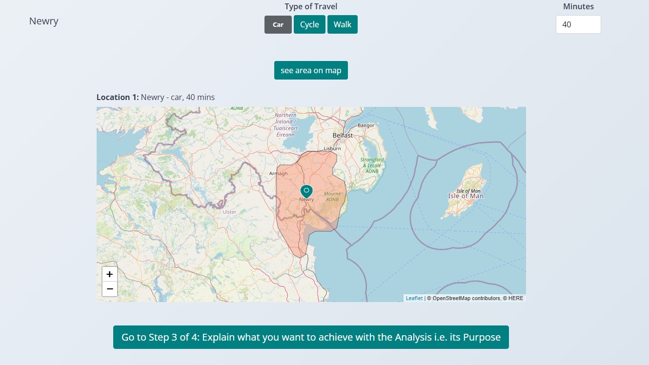
Define a location and catchment, whether it’s for business expansion, investment, or planning.
Get insights on demographics, property trends, commercial activity, and more.
Make informed decisions with clear, visual reports.
And now, it’s completely free!
We believe that good data should be accessible to everyone, from individuals
exploring new opportunities to SMEs looking for location insights without the
high cost of consultancy reports.
If you’ve ever wondered:
How does this area compare in terms of population and spending power?
What are the local property trends?
Are there patterns in planning applications that might affect my business?
…then Smart Location Analysis can help.
Cross-border catchments covered
For locations with catchments that span both Northern Ireland and the Republic, our system
automatically identifies and handles data from both jurisdictions. This means
you can analyse entire cross-border areas seamlessly—ideal for businesses or
individuals needing a complete picture of a region that isn’t confined to one
country’s borders.
Try it now at https://www.smartlocationanalysis.com and see what data-driven decision-making can do for you.